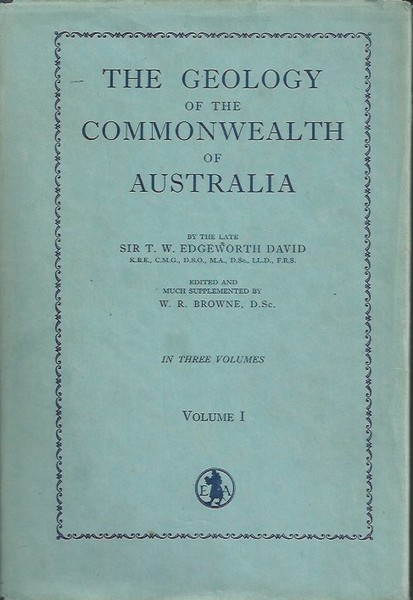
Vol I pp [i – ii} iii – xx, 1 – 747 incl. index, Vol II pp [i – ii] iii – iv, 1 – 618 incl. index. #0218
In 1931, David published the Geological Map of the Commonwealth and the accompanying Explanatory Notes, designed to be part of his Geology of the Commonwealth of Australia. He died in 1934 without being able to complete this work and was given a state funeral. The Geology of the Commonwealth of Australia was finally completed by his chosen collaborator, Associate Professor William R. Browne in 1950. (In display cabinet Elizabeth’s Bookshop, 856 Hay Street, Perth CBD 08 94818848)
alluvial alluvium aquifers artesian Artesian Basin auriferous Aust bands basalt basin beds belt bores C’w’lth Cambrian carbonates chiefly clay coal coal-measurescoal-seams Coalfield coast coastal conglomerates contain copper pyrites Creek Cretaceous deposits depth Devonian district dykes east eastern extent faulting feet thick field flow foldedgallons geol gold Goldfield granite highlands inches intersected intrusions Jurassic known Lake limestones lodes Lower margin Mesozoic mined minerals Miocene Miocene surfacemolybdenite north-east north-west northern occurs ore-bodies outcrops oxidized Palaeozoic pegmatite peneplain Permian plains plateau Pliocene pre-Cambrian probably pyrites quartz quartz-reefs quartz-veins quartzites Queensland rainfall Ranges reefs ridges River rocks sand sandstones schistsseams sediments Series shales shallow Silurian slates soils South Australia South Wales south-east south-west southern square miles strata sub-artesian sulphidesSurv Tasmania Tertiary tinstone tons torbanite Triassic tributaries Upper valley veins Victoria Western Australia width wolfram yielded zone
