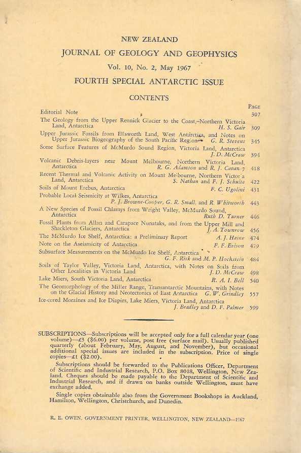
The Geology from the Upper Rennick Glacier to the Coast, Northern Victoria Land, Antarctica
Large fold-out maps, illusts #0621
ablation Antarctic Arkell Basalt Beacon belemnites Boreal boulders brine level Bull calcium carbonate Campbell Glacier Cape cemented Claridge continental Cretaceous debris density deposited depth developed Dicroidium dolerite domes earthquakes faunas Ferrar fossils frozen ground Geol geology Geophys Glacial Surface granite gravel Gunn and Warren ice level ice sheet ice thickness Indo-Pacific interglacial internal costae isostatic Jurassic Kimmeridgian Lake Miers lavas layer lower Lyon Nunataks margin material McMurdo Ice Shelf McMurdo Sound measurements melting meltwater migration miles Miller Range moraine Mountains Mt Erebus Mt Melbourne peneplain permafrost Polar Plateau polygons present probably raft region Rennick Glacier ridges rocks Ross Island Rotularia sample sand sandstone schist scoria Scott Base scree sea level sediments slopes snow soils soluble salts South Southern species specimens Speden stones Taylor Dry Valley temperature terraces Tethyan thin Triassic Upper USNM Victoria Land volcanic weathering West Antarctica Wright Valley Zealand

